3rd Coast Skyworks
OPERATIONAL VISUAL INTELLIGENCE
The Enterprise Standard for Aerial Data
High-precision industrial UAS solutions engineered for enterprise-grade aerial operations in construction, inspection, and mapping.
Operational Showcase
A technical catalog of aerial assignments identifying mission-critical defects and progress across construction, infrastructure, and geospatial mapping workflows.


Spatial Intelligence Assets
Photogrammetry & Precision Mapping
3D Orthomosaic Mapping
Engineering-grade topographical data collection for large-scale site intelligence and high-density terrain modeling missions.
Volumetric Analysis
Precision earthwork calculations and inventory audit solutions utilized for accurate material assessment and resource logistical optimization.
Industrial Digital Twins
Immersive asset replicas for engineering review and structural integrity monitoring, delivering interactive visual data across remote portfolios.
Operational Visual Intelligence Showcase
REAL-TIME DATA ACQUISITION *** PRECISION PILOTING *** ZERO-DOWNTIME INSPECTION
PROJECT HIGHLIGHTS
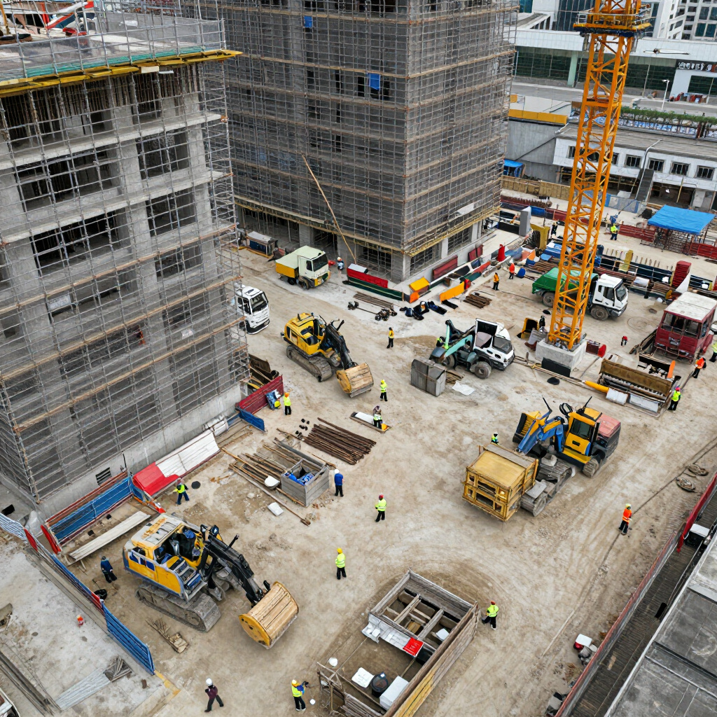
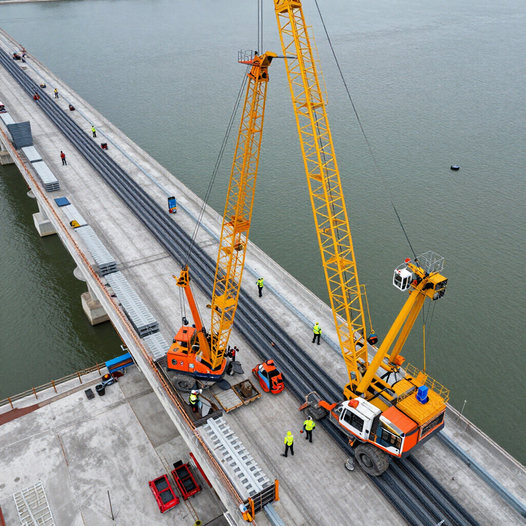
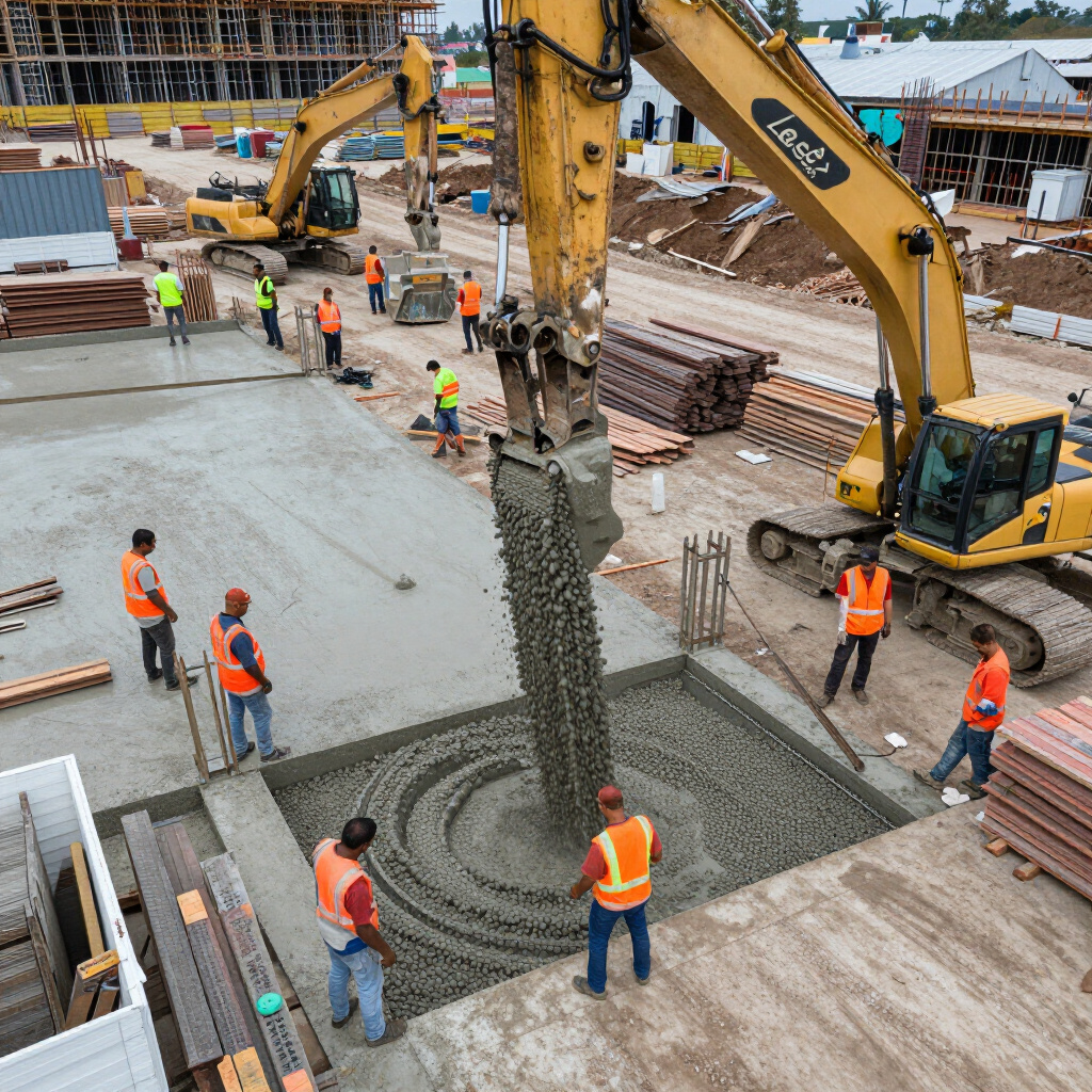
Construction Audit
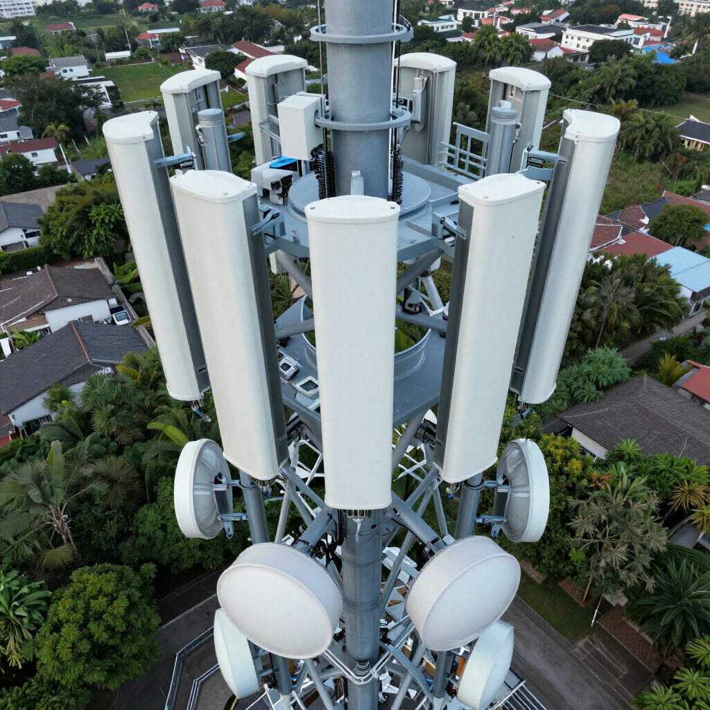
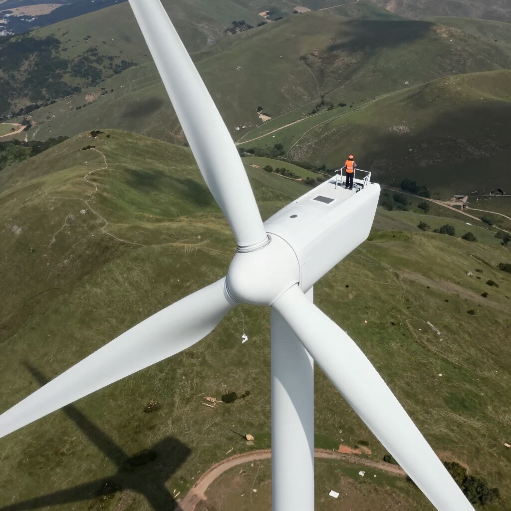
Asset Inspection
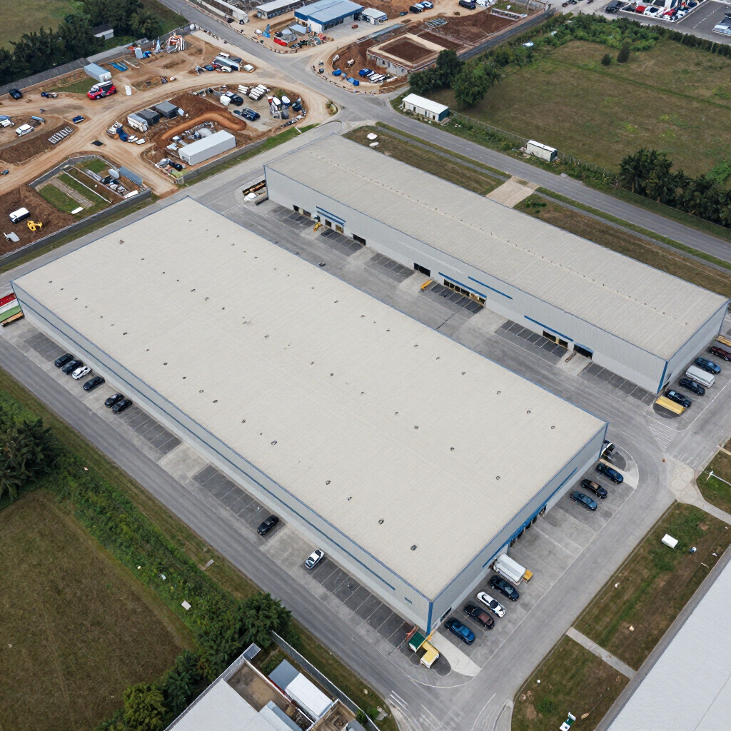
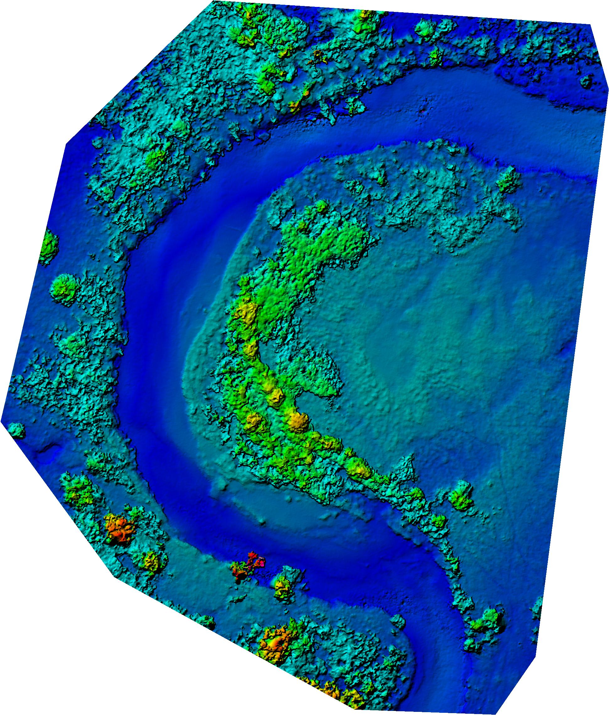
Precision Mapping
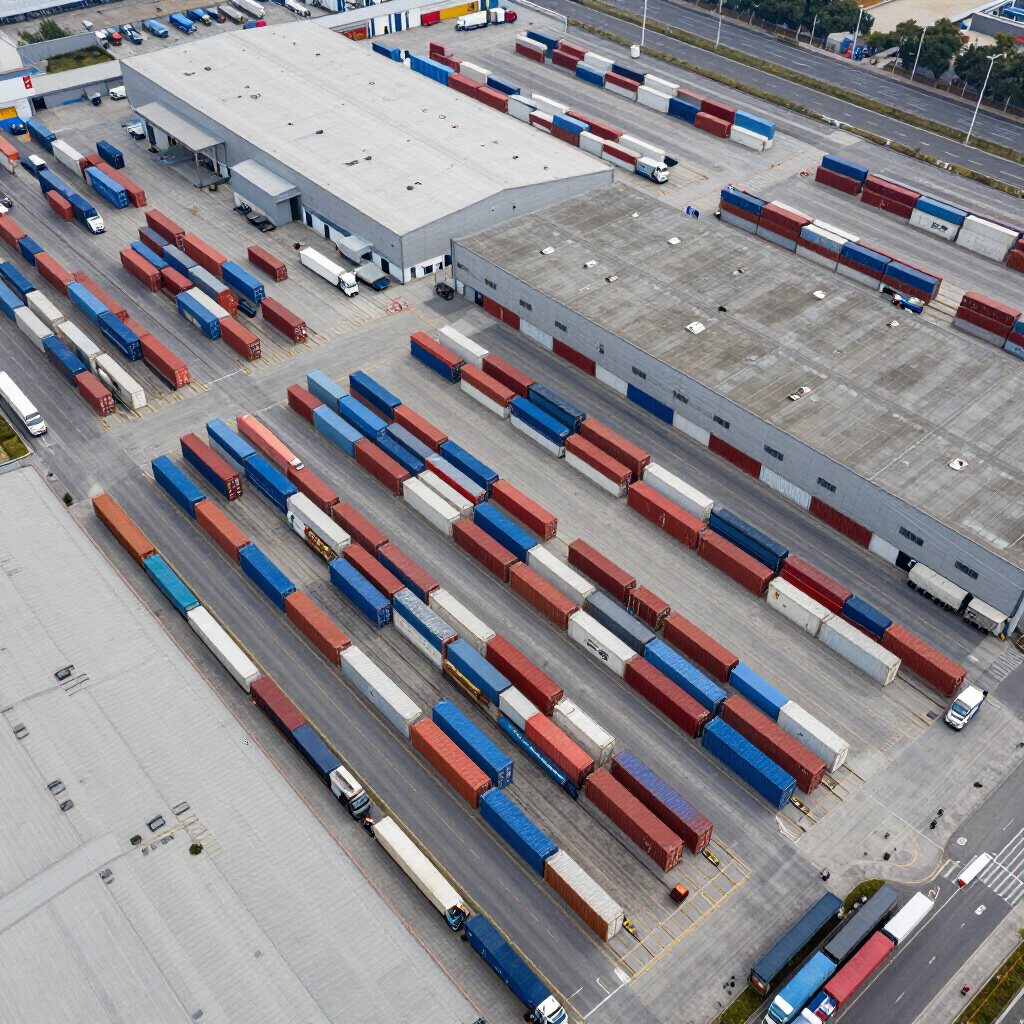
Digital Twin View
Bi-weekly aerial documentation for a 400,000 sq. ft. fulfillment center lifecycle.
Strategic thermal and high-res imaging for regional energy infrastructure safety.
Topographic surveys and volumetric analysis for heavy equipment logistics.
3D photorealistic modeling for real estate management and virtual tours.
Ready for Intelligent Flight?
Consult with our mission planning specialists today to tailor an industrial UAS workflow for your enterprise.